Check the Cinque Terre trail update (open or close path?)
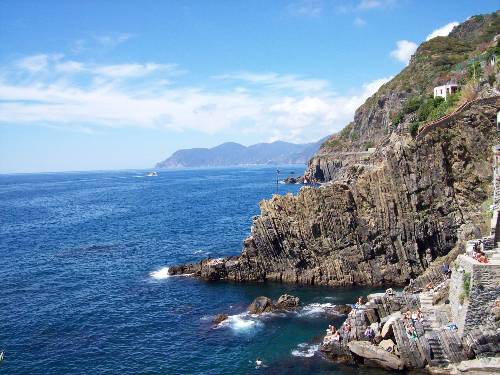
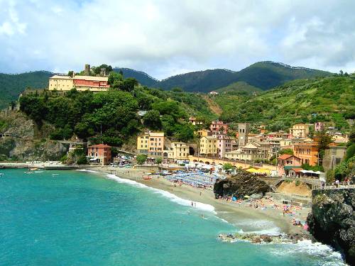
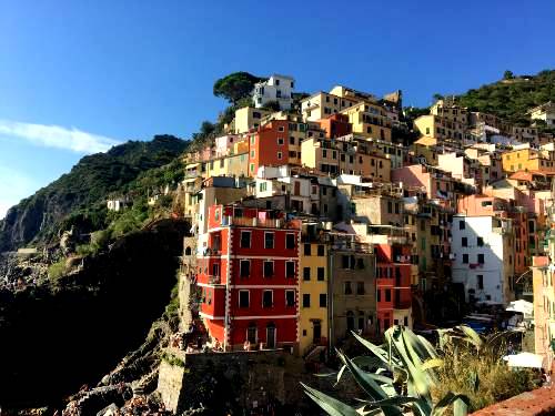
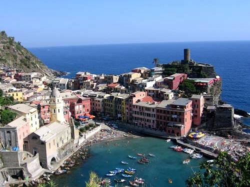
The "Sentiero Azzurro", which connects the five fishing villages, is the most famous and evocative trail of the Cinque Terre. The course has been traced through the centuries, when it was the only way of communication for the inhabitants of the Cinque Terre. In some points, it is a real mule track that winds waterfront offering fabulous views.
The difficulty is very low, but along the way can be found strokes and slippery cliffs. The Blue Path is about 12 km and the maximum altitude of 200 meters is at Prevo, beautiful village of Vernazza. The path is composed by trails for about 8 miles, by cobbled mule tracks and bleachers for about 2 km, and by the promenade of the Via dell’Amore, Walk of Love, and internal roads in the villages.
The entire route is marked by a white and blue stripe. It takes about 5 hours to walk it and you exceed and the height difference is about 500 meters.
Blue path: 592-2 (SVA2): Manarola - Corniglia (CLOSED 2024)
Journey time: 1 hour and 15 minutes.
Difficulty: E - Hiking
Length: 2,184 km
Water points: several points
Currently only a section of 300 meters from Manarola is open.
From Manarola we proceed towards the Marina di Manarola and then we climb towards the cemetery. Here you will find a crossroads at the height of a chapel of the Madonna dating back to 1860. Going to the right you will arrive at the hamlet of Volastra passing through Poggio Le Croci, while keeping to the left, you continue your journey towards Corniglia with a flat path.
The last stretch of the route runs along the artificial beach created during the construction of the old railway for about a kilometer. Before arriving at the Corniglia train station you pass through the Valle Asciutta. After crossing the canal, go along the Corniglia beach and reach the station. To get to the town, it is necessary to climb the 377 steps of the Lardarina staircase at 90 meters above sea level. The difference in height of the path is 120 meters.
Alternative
First part of path 506 up to Volastra; path 586 from Volastra to the junction with path 587 near Case Pianca; path 587 from Case Pianca to Corniglia.
Journey time: about 3 hours and 30 minutes.
Difficulty: EE - For expert hikers
Length: about 5.5 km
From Manarola go up along Via Discovolo towards the exit of the town and up along a mule track until you reach Pie di Fiesse, near the coastal road, along the paved road for a short distance towards Groppo. Then go up on the left to Volastra, along the ancient municipal staircase.
From Volastra the route runs along the provincial road of the Sanctuaries on the left towards the north-west, between vineyards and dry stone walls, passing through Case Porciana. After passing the tiny town, you enter a maritime pine forest continuing to the intersection with path 587 Corniglia-Cigoletta under Case Pianca.
From here the path descends towards Corniglia through a pine forest, then terraced strips of vineyards and olive trees, many of which are abandoned. Continue to descend a very steep staircase and some bumpy points until you reach the church of San Lorenzo.